
Looking Up Your Cedar City Neighbors
A Cedar City neighbor lookup starts with one address and the parcels around it. Iron County GIS shows adjacent polygons, roads, municipality, subdivision, and zoning context. EagleWeb can add indexed ownership and mailing fields. Utah voter records may add public registration fields. Deeds and plats explain legal connections, while civic and historical sources show how a block changed. Each source describes a slice of the block, not every person inside it.
| Source | What It Shows About a Block | Access |
|---|---|---|
| Iron County parcel viewer | Adjacent parcels, roads, municipality, layers | Free viewer and REST map |
| EagleWeb property account | Indexed owner, mailing, value, tax clues | Free guest search |
| Utah voter lookup | Public registration fields when released | Protected records withheld |
| Main Street civic district | Public downtown boundary and committee context | Official city page |
| Cemetery maps and plats | Lots, owners, interments, block history | Sexton or Archives route |
An owner field proves an indexed property relationship. It does not prove occupancy. A mailing address may be in another city, a parcel may be vacant or held by an LLC, and a protected voter may be absent. Use the word “owner” when the record says owner and “possible household connection” when the source only suggests one.
Mapping a Cedar City Block: Parcels First
The Iron County parcel locator supports a practical adjacent-parcel method. Locate the starting address, click its polygon, then open each touching parcel. Record municipality, parcel, account, owner, mailing, acreage, values, taxes, legal reference, and any populated situs or subdivision field. The public REST layer can serve as a fallback when the experience-builder map does not load.
- Locate the Cedar City address in the Iron County parcel viewer and save its parcel or account number.
- Click adjacent polygons and note each owner, mailing address, municipality, legal reference, and map layer.
- Compare the returned fields with EagleWeb and check whether situs, subdivision, and zoning are populated.
- Use Utah voter data only for released public fields and keep protected or absent records out of the block list.
- For the full named-street chain, move to the Cedar City street directory workflow.
Adjacent parcels show land next to land. They do not create a household roster. A street-wide deed or address trail needs a different search sequence.
Official sources also provide a correction path. The map can be checked against the county GIS office, the parcel account against EagleWeb, and a recorded instrument against the Recorder’s index or counter. If the fields conflict, keep the conflict visible and ask which field is current. A clean map image does not erase a blank situs field or an out-of-town mailing address.
Cedar City Neighbor Parcel Card
An inspected Cedar City parcel row illustrates what a neighbor result can contain. The sample returned municipality Cedar City, parcel B-1983-0000-0000, account 311891 or 0311891, district 06, year 2026, indexed owner Pearl Group Holdings L L C, and a Bountiful mailing address. It also showed 38.56 acres, zero improvements, taxable value 848, total taxes 6.56, book/page B:1700 P:1069, and entry 827470.
The same row left situs, subdivision, and zoning blank. Geometry was suppressed in the sample query, and no household member or deed image was present. A block search must preserve those gaps. A mailing field is not a neighbor’s physical address, and a parcel owner is not necessarily an occupant.
| Field | Block meaning |
|---|---|
| Parcel and account | Identifiers for one mapped property record. |
| Owner and mailing | Indexed ownership and tax-notice destination. |
| Situs | Physical property location, when populated. |
| Book/page and entry | Links to Recorder research. |
| Values and taxes | Parcel assessment fields, not people fields. |
The Iron County ArcGIS parcel locator is the linked source for mapping the parcels adjacent to a Cedar City address.
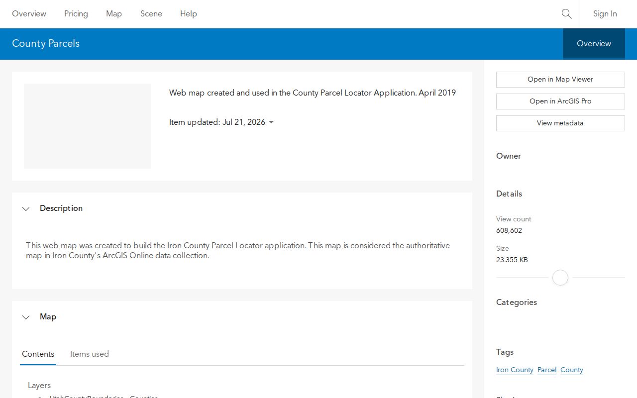
Start with the parcel ID, then open adjoining polygons one at a time so each neighbor record stays tied to its own map feature.
Cedar City Voter Data Near a Block
Utah Vote Search can show public registration fields tied to an address, such as name, residential or mailing address, districts, party, status, and vote history. It withholds full birth date, phone, email, identification numbers, and other restricted fields. At-risk voters are excluded, and the state controls voter-file requests and use.
That makes voter data a narrow block signal. It can help compare a public registration entry with a parcel and date. It cannot prove that every person at the address is present, and a missing result cannot prove that a property has no neighbors.
The Utah Vote Search address guide is the linked source for the public registration fields discussed here.
Keep a voter match labeled as a public registration signal, not a complete list of people on the block.
Cedar Main Street Is a Civic District
Cedar City’s Historic Downtown Main Street district runs along Main Street from 200 South to the Iron County Tourism Building, and from 100 East to 300 West. The city page describes a public district and committee focused on historic preservation, business mix, and civic connection. That is useful context when a block question concerns downtown addresses or older community activity.
Main Street is not a private neighborhood roster. Public committee or city agenda material may identify a board, applicant, or event. Private membership directories were not located. Treat civic records as public organization evidence, not as a list of everyone living nearby.
The Cedar City Downtown page is the linked source for the public Main Street district boundaries.
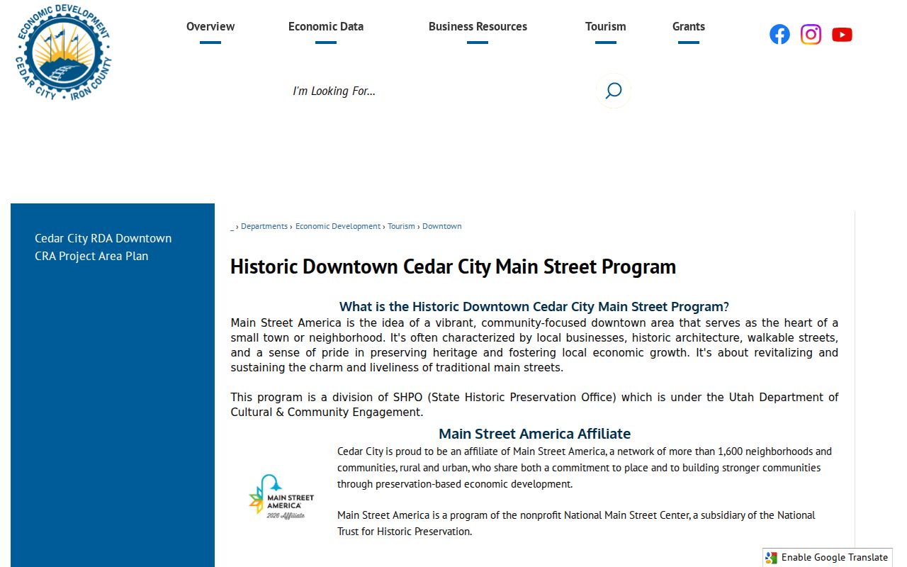
Use the district as civic and historical context, not as a roster of nearby households.
Planning Areas Around Cedar City
The Cedar City General Plan identifies potential growth around Fiddler’s Canyon, the golf course, Eagle Ridge and frontage road, South Mountain Drive, the northern automall interchange, West View Drive, and the unincorporated west side. Older annexation material names Cottonwood, Cross Hollow, North Interchange, Northfield, Red Hills, South 56, South and West Interchange, Square Mountain, and West Airport or West Extension.
These names help explain a changing block map. They are planning or boundary cues, not proof of a formal neighborhood association. Utah SGID reports two Cedar City municipal-boundary changes in 2024, so a dated parcel and municipality field matter when comparing older and current records.
The research review found no verified citywide HOA or neighborhood-association roster. Public city agendas, Main Street committee material, historical-society programs, and community event records may name organizations or participants. They do not supply private member lists. For a block question, the safest community layer is the public district or civic record that names its own purpose and date.
The Iron County GIS office page is the linked source for the public map context around changing Cedar City areas.
Check the parcel and municipality fields against the date of the boundary or planning record being studied.
Cedar City Plats and Deeds
Recorded plats and deeds can show how adjacent lots were created, divided, transferred, or described. Use the parcel ID, book/page, entry, lot, block, and legal description when available. A current GIS polygon and an older plat can bridge a block’s land history even when a street name or ZIP changes.
Compare official parcel evidence with any commercial neighbor-search category only as a lead. Paid tools may merge old addresses and do not always show their source, date, or correction route. The county map and Recorder index have their own limits, but their fields and custodians can be checked. A block search should favor records that state what they measure.
Iron County EagleWeb provides free document and account searching, but the Recorder says images are available at the office. Historical Archives series reach from 1851 for deeds and include grantor/grantee, mortgage, lien, and abstract material. This is a land-history path, not a way to reveal private household members.
Cedar City Cemetery Maps
Cedar City Cemetery is a different kind of mapped block. State Archives series include a 1902 city-surveyor blueprint with streets, lots, owners, township and range, and a cemetery inset. Overlapping burial cards, registers, lot files, and a lot-owner index span 1858-1992. The City Sexton maintains current cemetery records.
Use this route for family, burial, and local-history research. The cemetery is not a living-neighbor directory, and a lot owner is not a current occupant. Compare the map with a newspaper notice or family paper when a name or date needs support.
The Utah State Archives cemetery-map collection is the linked source for the historical map series and date coverage.
Pair a cemetery map or lot file with a dated family or newspaper source before connecting it to a neighboring address.
Cedar City Has No Verified Roster
The research review did not locate a city-maintained directory of Cedar City neighborhood associations or HOA membership. Public boards, Main Street materials, city agenda records, civic groups, and community programs can supply named organizations. Private rosters were not verified and should not be inferred from a parcel map.
When the goal is a full street rather than the immediate block, use the Cedar City street directory path. It follows the address chain across parcels, deeds, voter fields, and permits. A neighbor search remains focused on the nearby polygons and the public context around one address.
The Cedar City public directory is the linked source for civic staff contacts, not a private neighborhood list.
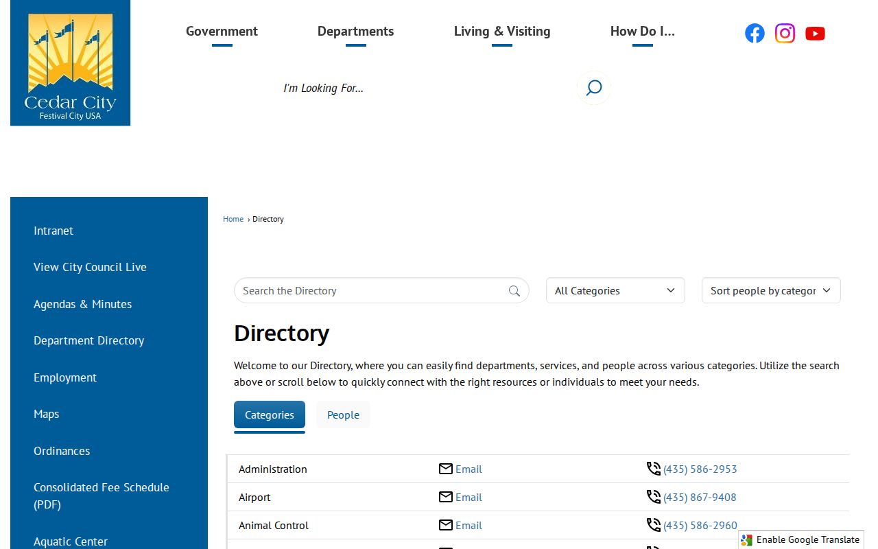
Use that directory only for the public office or department contact that can answer a civic question about the block.
Cedar City Neighbor Lookup Privacy Limits
Renters and household members are not exposed by the parcel roll. Utility and delivery data is not a public block list. Utah Safe at Home protects a certified participant’s actual residence, mailing city and county, precinct, phone, and unique identifiers behind a substitute address. Voter rules also withhold at-risk information. A blank neighbor result can be a protection signal.
Lawful use. Cedar City neighbor research can support civic curiosity, reconnection, and personal safety awareness. Do not use a block lookup to watch, stalk, harass, intimidate, or harm anyone.