
Finding Who Lives on Cedar City Street
A Cedar City street directory search should begin with the physical address, not a guessed household name. Iron County GIS can place the address inside a parcel, and EagleWeb Account Search can add owner, account, tax, value, and legal-document clues. The voter lookup may show a public registration match. Deeds explain transfers. Older reverse directories and newspapers can show past occupants. None of these sources, alone, proves everyone who lives at a property.
Walk the record chain in order. Keep the exact spelling, direction, unit, ZIP, parcel, and account number returned at each stage. Cedar’s Main and Center street origins differ from the origins used in other Iron County towns, so a city and direction are part of the search key.
- Run the full address through Iron County EagleWeb Account Search and save the parcel or account result.
- Open the Iron County parcel locator, click the polygon, and compare the municipality, road, subdivision, and legal fields.
- Use Utah Vote Search by address for a narrow public registration check, keeping protected and absent records separate.
- Search the Recorder’s EagleWeb Document Search for deeds, mortgages, liens, plats, and reconveyances tied to the legal description.
- For earlier households, ask the Cedar City Library about reverse directories, then pair any name with newspapers, census dates, or cemetery files.
Cedar City Records Searchable by Street
Address-keyed records answer different parts of a street question. The assessor and parcel layer describe land and indexed ownership. The Recorder follows legal instruments. Voter data may show registration. Cedar permits and the State Construction Registry put a project or filing beside an address. A criss-cross directory, when a physical run exists, can connect an old address to a name.
| Record Set | Keeper | What It Shows | Access |
|---|---|---|---|
| Property account | Iron County Assessor | Owner, mailing, value, taxes, legal clue | Free EagleWeb search |
| Parcel map | Iron County GIS | Parcels, municipality, roads, zoning layers | Free map and REST layer |
| Deeds, liens, plats | Recorder / Surveyor | Parties, transfer and legal description | Free index; office copies |
| Voter search | Utah elections | Public registration and district fields | Protected data withheld |
| Permits and SCR filings | Cedar City / Utah registry | Project address and filing roles | Search free; detail varies |
The parcel or account is the main bridge. Use it to compare the GIS row with an EagleWeb account and a deed index entry. Then compare the physical address with voter or permit information. The chain tells whether records refer to the same land. It still does not turn an owner, contractor, or registered voter into a complete household list.
The county GIS layer is also useful for a street-wide pass because it supports map, attribute, and spatial queries. Its documented maximum-record behavior is 2,000. The zoning service can add a land-use view, but it has no person fields. EagleWeb requires JavaScript and cookies, and its exact live account controls were not exposed during the research capture. When a control is missing, keep the limitation in the notes instead of guessing at a field name.
Address records have several access channels. Use the free web index first. If a deed image or certificate is needed, call the Iron County Recorder / Surveyor at 435-477-8350 or use the counter at 68 S 100 E in Parowan. The office lists Monday through Thursday, 8:00 a.m. to 5:00 p.m., and Friday, 8:00 a.m. to noon. Older books and indexes move to Utah State Archives series and microfilm. For Cedar City permits, the department portal supports status and inspection tasks, while older files may require a focused GRAMA request.
Cedar City Parcel Fields
The public parcel layer is more precise when each field is read as a field, not as a story about a person. A Cedar City result can return municipality, parcel, account, district, year, indexed owner, mailing address, acreage, land value, improvements, taxable value, taxes, balance, book/page, and entry. It can also expose subdivision, situs, zoning, and technical edit fields when those values are populated.
| Field | What to record |
|---|---|
| Municipality | Whether the row identifies Cedar City or another Iron County place. |
| Parcel / account | The identifiers that tie the map row to property-account research. |
| Owner / mailing | The indexed owner and where tax notices are sent. |
| Situs / subdivision | The physical location and named development, when populated. |
| Book, page, entry | Legal-reference clues for the Recorder index. |
| Values and taxes | Land, improvements, taxable value, taxes, and balance fields. |
In one inspected Cedar City row, Pearl Group Holdings L L C was the indexed owner and Bountiful was the mailing location. The returned parcel had 38.56 acres, zero improvements, taxable value 848, total taxes 6.56, book/page B:1700 P:1069, and entry 827470. Its situs, subdivision, and zoning fields were blank. That is a useful data-quality lesson: a missing field is not permission to fill it with an assumption.
Ask Cedar City Record Keepers
A street search may need more than a web result. Cedar City Police uses a records-request form for incident material, with release controlled by GRAMA classification and investigative privacy rules. Building and Zoning asks that residential permit documents carry the actual property address. The State Construction Registry lets a searcher choose Cedar City or Iron County as the issuing municipality and leave the other fields open.
For any request, name the address, date range, record family, and delivery need. Ask for an existing record, not an answer assembled from several systems. A request for “everyone on the street” is less precise than a request for a named permit, deed index entry, plat, or police report. The right description helps the custodian find the record and makes any redaction or fee easier to understand.
Cedar City GIS Layers Around an Address
The Iron County GIS viewer lets a searcher move from one parcel to its neighbors and surrounding road context. The public parcel layer supports attribute and spatial queries, with a maximum-record behavior of 2,000. The map item also carries subdivision, municipality, roads, SITLA ownership, and 2025 imagery context. The zoning service adds a land-use layer, but it does not add person fields.
For a whole-street pass, click each polygon or narrow the query by municipality and address-related fields. Save the parcel ID before opening another row. If the experience-builder map does not load, the county GIS page and the public REST layer are the fallback. Map geometry shows where land sits. It does not show who is inside a structure.
The Iron County parcel layer is the linked source for the address and adjacent-parcel fields described here.
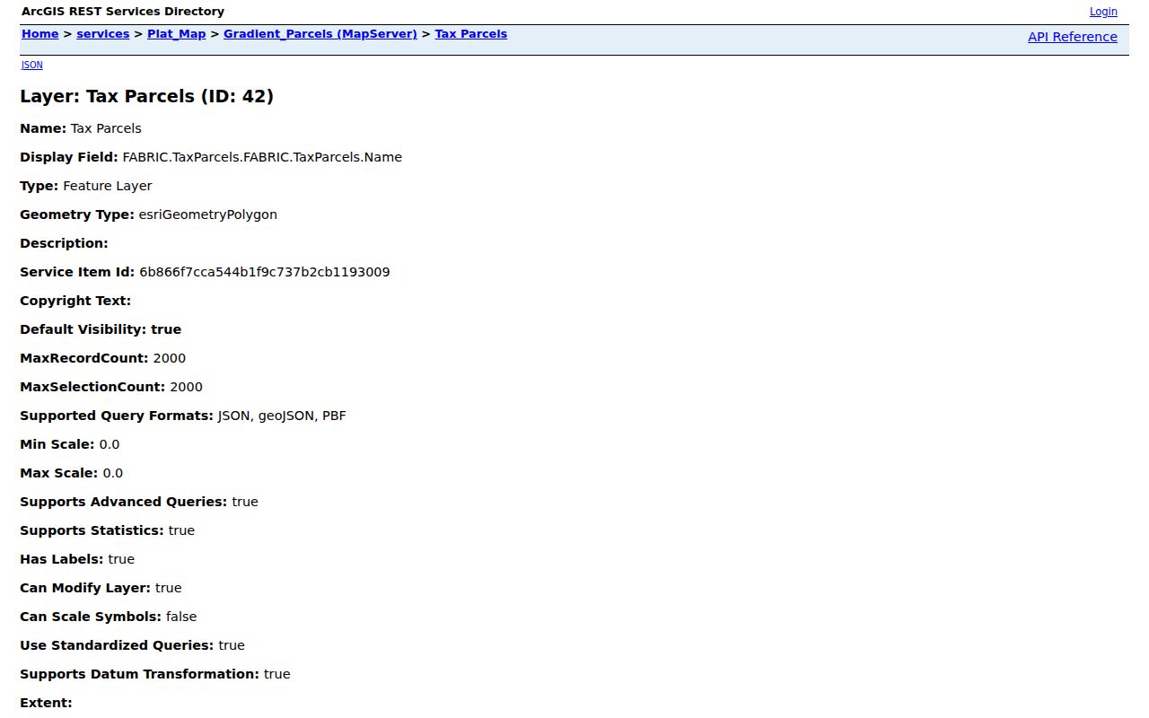
Use the parcel ID as the stable handoff from the map to EagleWeb, the Recorder, or a later whole-street comparison.
Owner Mailing and Situs Are Different
A situs address identifies the physical parcel. A mailing address receives tax or ownership notices. They often differ. The sample Cedar City row with a Bountiful mailing address shows why a street directory cannot copy the mailing field into a claim about who lives on the street.
Use the municipality, parcel, account, road, and legal description together. When the situs field is blank, check the map and Recorder references. When the owner is an LLC, use the entity search only to understand the filing relationship. Do not infer a private household from a company name, a tax mailing ZIP, or a vacant-land row.
The Iron County Assessor page is the linked reference for interpreting the property-account side of an address search.
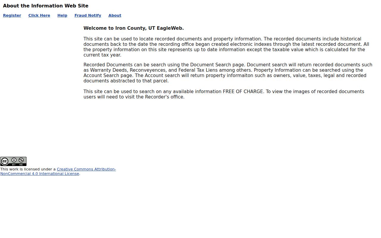
Compare the assessor’s property relationship with the physical map and any public address evidence before describing a street connection.
Cedar City Deeds Follow Legal Description
To trace a street through recorded deeds, begin with the parcel or account and read the legal description. Search the EagleWeb document index for deeds, mortgages, liens, plats, reconveyances, and related instruments. A grantor is the party transferring an interest. A grantee receives it. The index may return a summary, while the full image stays at the Recorder office.
The Iron County Recorder and Surveyor is at 68 S 100 E in Parowan, with 435-477-8350 listed for the office. The public web index is free. The 2026 fee schedule lists $1 for a recorded-document copy, $5 for a certificate under seal, and $45 for a standard recording. Historical series at Utah State Archives reach to 1851 for deeds, with separate grantor/grantee and mortgagee runs. The online cutoff is not stated, so do not promise a complete web chain.
The EagleWeb Recorder description is the linked source for separating index access from office image access.
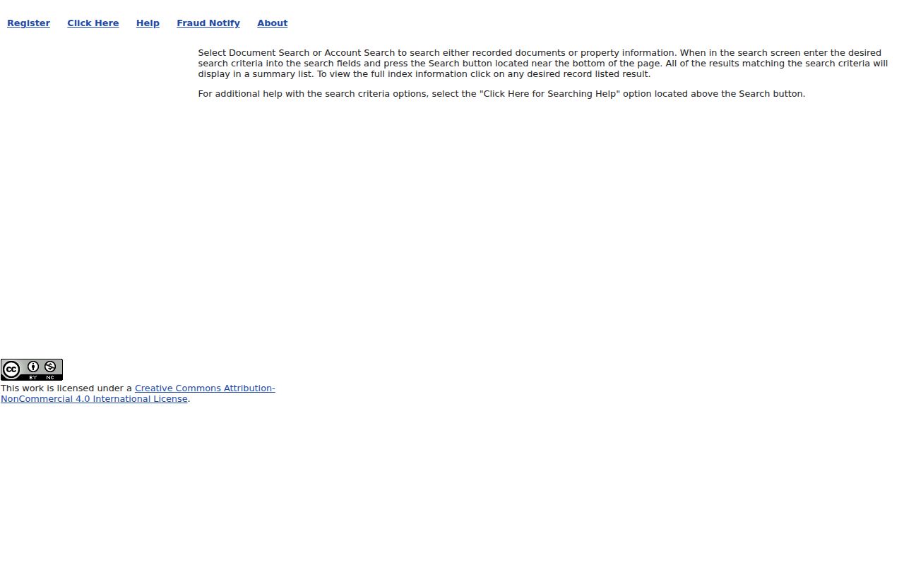
Carry the book, page, entry, and legal description into the next deed search instead of relying on a street name alone.
Cedar’s Main and Center Origins
Cedar City addresses use Center Street or SR-14 as the north-south origin and Main Street or SR-130 as the east-west origin. A direction is therefore part of the address. Enoch uses a Cedar origin, while Parowan, Kanarraville, and other towns use their own origins. A search for a common street name without city and direction can cross into the wrong grid.
Historical work also needs Plat A and Plat B in view. Fort Cedar was abandoned in 1853, Coal Creek runoff affected the early town, and a final Plat B followed in 1855. If a deed, newspaper, or directory uses an old legal description, compare it to the historical map before deciding that the address is missing.
The Utah address-system explanation is the linked source for the quadrant convention used to normalize Cedar City streets.
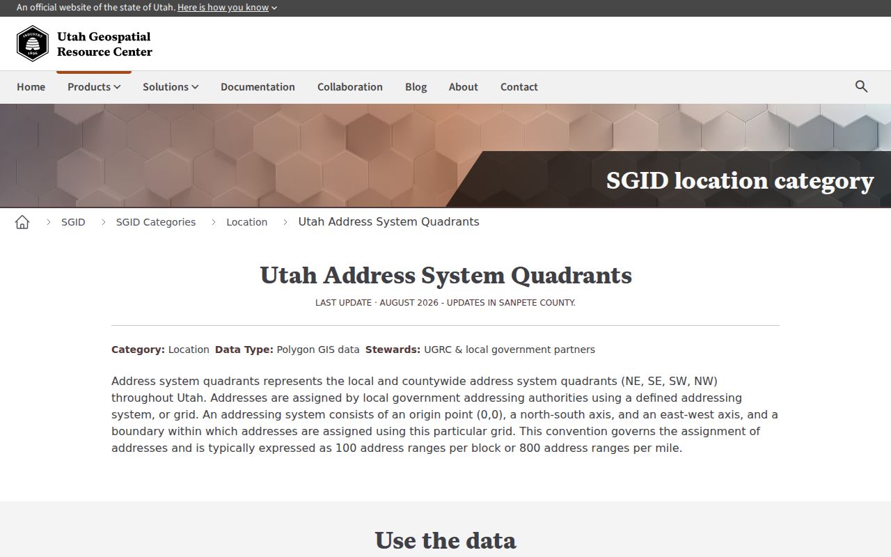
Save the direction and cross-street origin with the address so a common name is not matched to another Utah town’s grid.
Cedar City Projects and Voter Addresses
Cedar City Building and Zoning records can place a permit document, inspection request, or status beside the actual property address. A public index of all historic permits was not located, so older work may need a department request or GRAMA. The State Construction Registry offers a separate search by issuing municipality. Choose Cedar City or Iron County and add a date range when useful. Search is free, while detailed information may carry a charge.
Utah’s voter search can add a public registration signal, but it excludes protected records and does not list every person at a parcel. The county Clerk is the local election contact in Parowan. Combining a dated permit or voter field with a parcel and deed is stronger than treating any one street hit as a household record.
The Iron County zoning service is the linked source for the land-use layer around a Cedar City address.
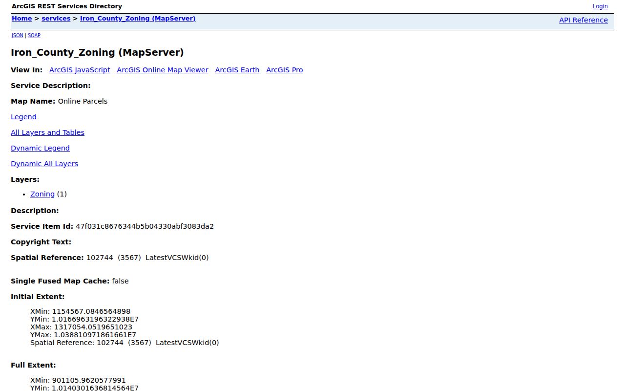
The zoning layer adds context about land use; it does not add names or establish who occupies a structure.
84720 and 84721 Can Date a Record
USPS moved about 6,900 deliveries from 84720 to 84721 on July 1, 2008. That change can make an older address look inconsistent with a current Cedar City ZIP. Test both values in historical searches, then confirm the street and municipality through GIS or the postal lookup.
A ZIP is a delivery clue, not an occupant clue. The postal form can verify a street, city, state, apartment, or ZIP combination. It cannot confirm that a named person lived there, and it cannot replace the parcel or deed chain.
What Cedar City Street Directory Cannot Show
A street directory can expose indexed owners, public voter fields, recorded parties, project names, or historical address entries. It cannot name every renter or household member. DMV address data is restricted under the federal Driver’s Privacy Protection Act. Utility customer lists are not a public substitute. A parcel may be vacant, institutional, held by an LLC, or carry a mailing address in another city.
Lawful use. Cedar City street and address records support personal, lawful research. Using them to stalk, harass, intimidate, or harm another person is prohibited and may violate Utah law.